
New Zealand’s far north does not look like the New Zealand on the posters. There are no mountains here to speak of. What there is instead is subtropical: 144 islands scattered across sheltered water, pōhutukawa hanging over white beaches, and a climate that runs opposite to the South Island — Northland is at its driest in the middle of summer while Fiordland is at its wettest. It is also where the country’s founding document was signed, which makes it the most historically dense corner of New Zealand and the one most visitors skip.
Designed With You in Mind
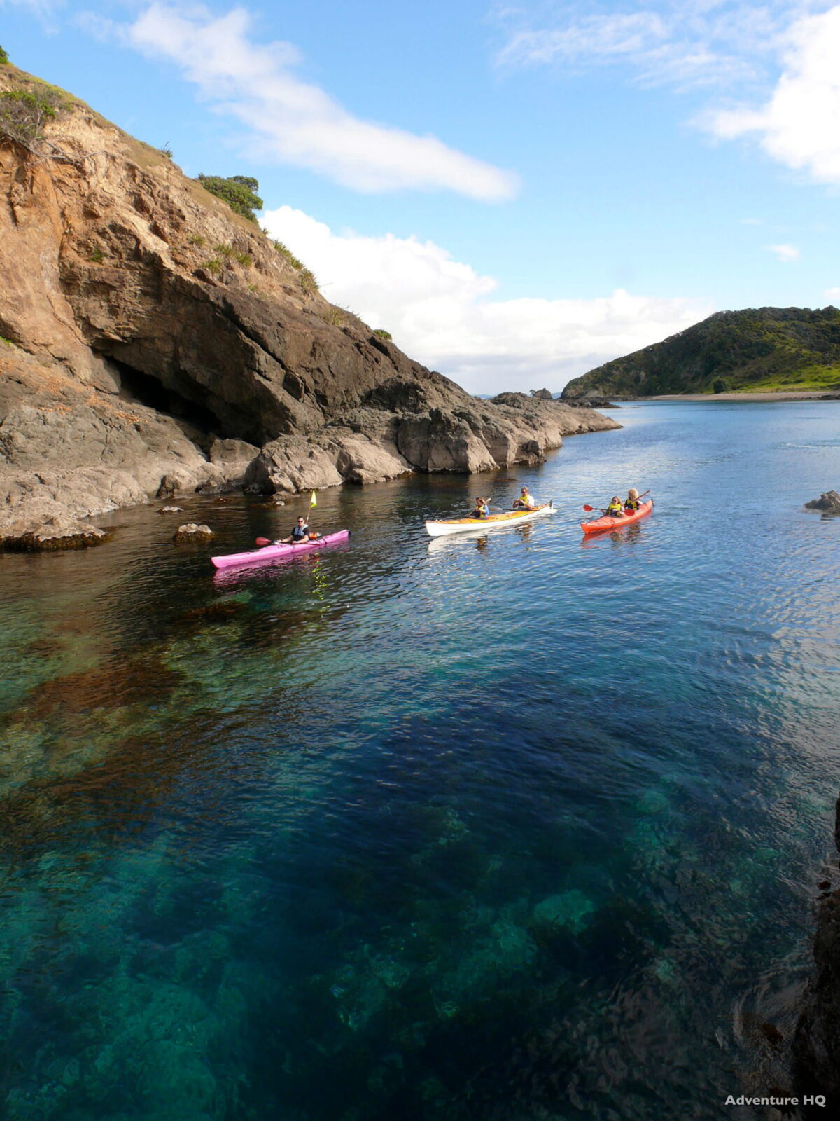
- Best months to go: December to March, when Northland is at its driest and warmest — the reverse of the rest of the country
- Getting there: a three-hour drive from Auckland, or a 35-minute flight
- How long to stay: two nights to sail and see Waitangi; three or four if this is the resting half of the trip
- What makes it worth it: 144 islands, sheltered water, and a private boat instead of a scheduled one
- Worth knowing: this is the warm, slow counterweight to the alpine south — most itineraries are better with it at one end
The Sailing Is the Reason, and Private Changes It Completely
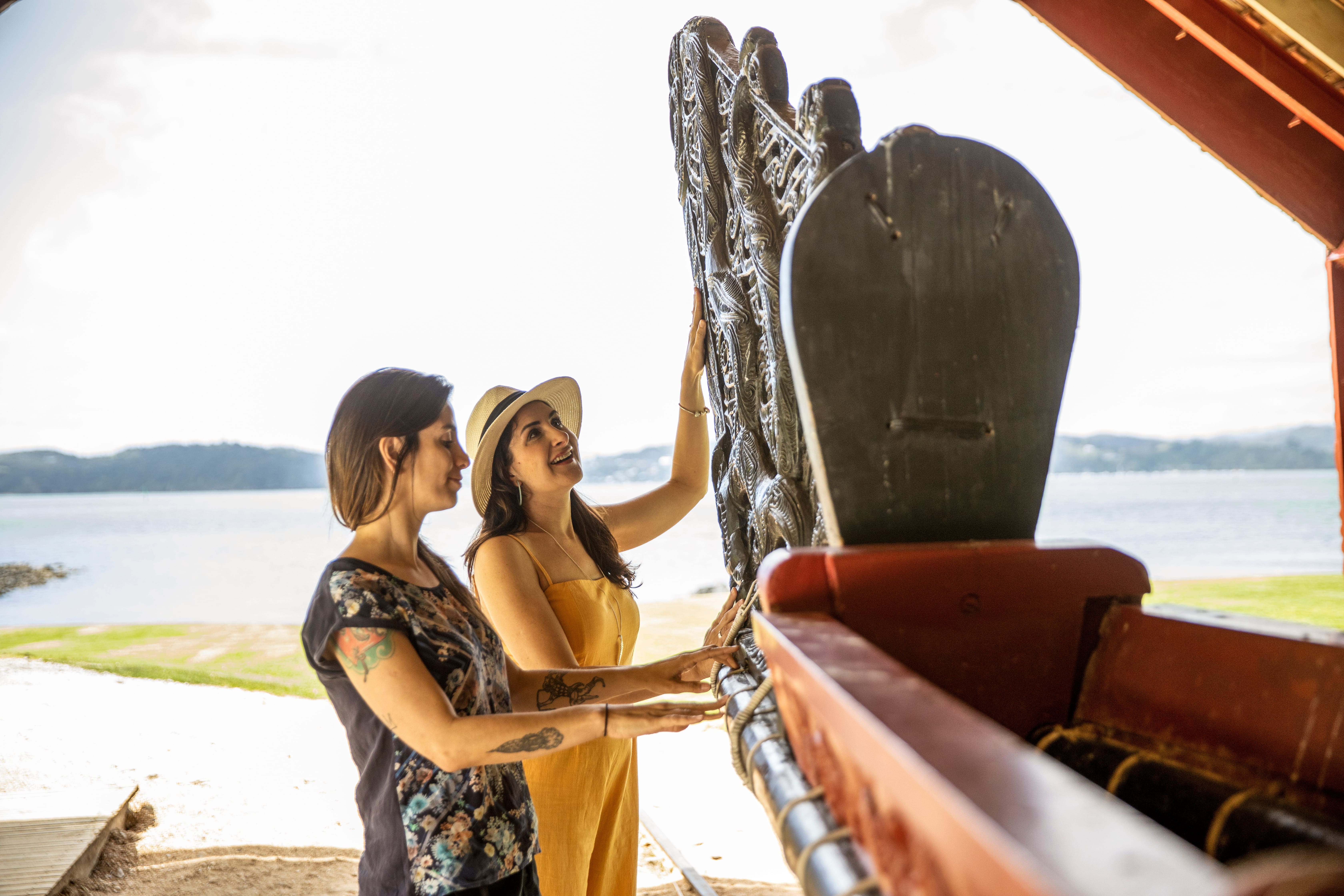
A private charter does something else. You go where the weather is best that morning rather than where the timetable says, you swim off the back in a bay with nobody in it, and lunch happens when you are hungry. Dolphins are common in the Bay and, on a private vessel, you can simply stay with them rather than moving on.
For couples this is usually the easiest day of the whole trip to arrange and the one they describe first afterwards.
Waitangi Is the Most Important Place Most Visitors Miss
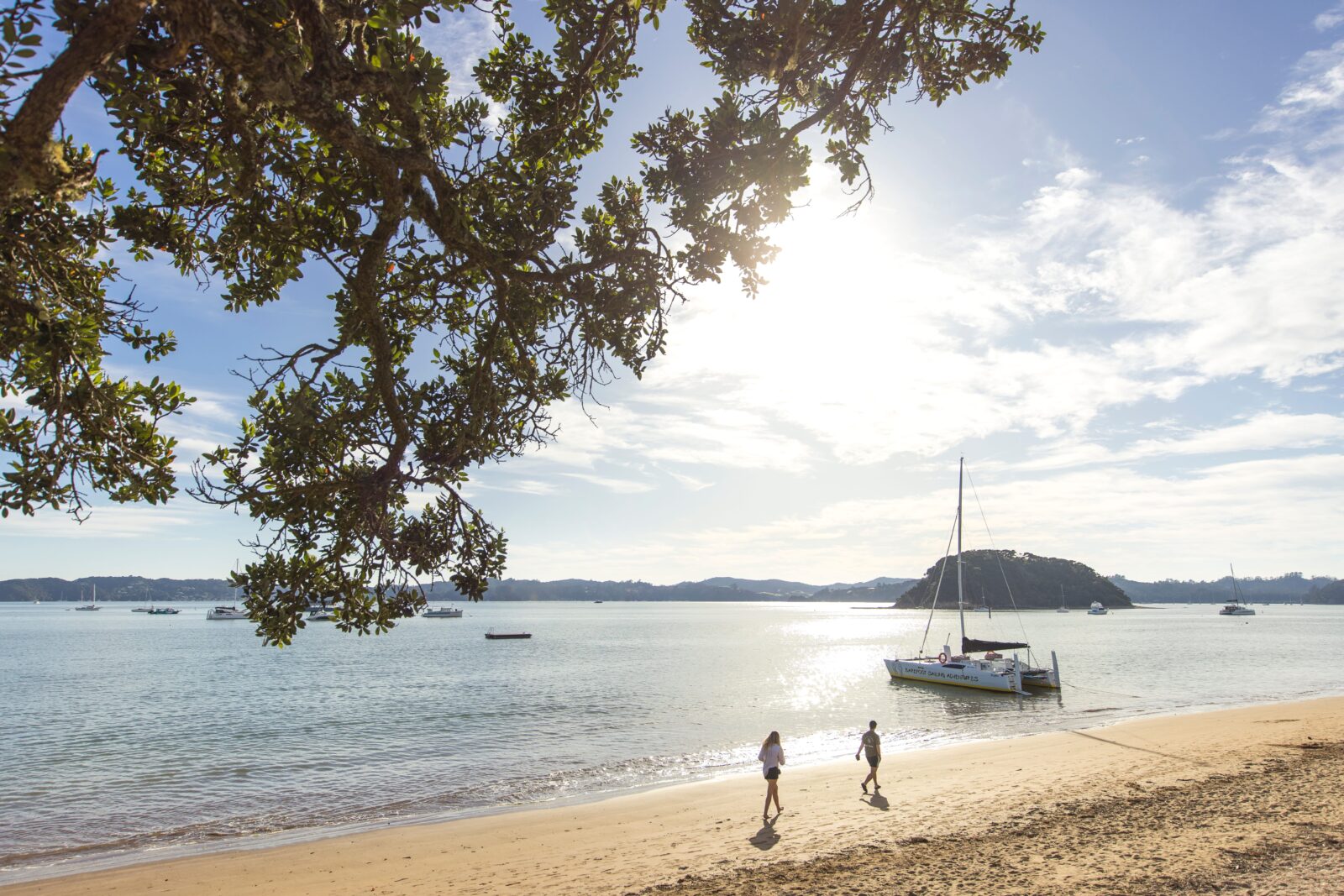
The Treaty of Waitangi was signed here in 1840, and the grounds remain the single best place in New Zealand to understand how the country came to be the way it is. The estate covers 506 hectares.
Guided properly, it is not a museum visit. The carved meeting house, the waka, and the accounts of what was actually agreed — and what was not — give the rest of your trip a frame. Every Māori cultural experience you have afterwards, in Rotorua or anywhere else, reads differently once you have stood here.
We arrange this with a guide rather than a headset, and we allow a morning rather than an hour.
Northland Runs on the Opposite Weather to the South Island
This is the practical fact that decides where the Bay of Islands sits in your itinerary. Kerikeri, the main town of the region, records about 1,775 millimetres of rain a year — but the distribution is the point. NIWA’s regional climate record puts January at 122 millimetres against July at 205.
So the Bay is at its best from December to March, exactly when the South Island is busiest and the alpine weather is most settled. That is not a conflict — it is an argument for doing both in one trip, and for putting Northland at whichever end of the itinerary lands in that window.
Winter here is mild rather than cold. It is simply wetter, and the sailing is less reliable.
Russell, the Kauri Forests and What Else Is Up Here
Russell sits across the water from Paihia and was the country’s first permanent European settlement — a genuinely pretty waterfront town that takes fifteen minutes by ferry and rewards an evening. It was once called the hellhole of the Pacific, which it has comprehensively lived down.
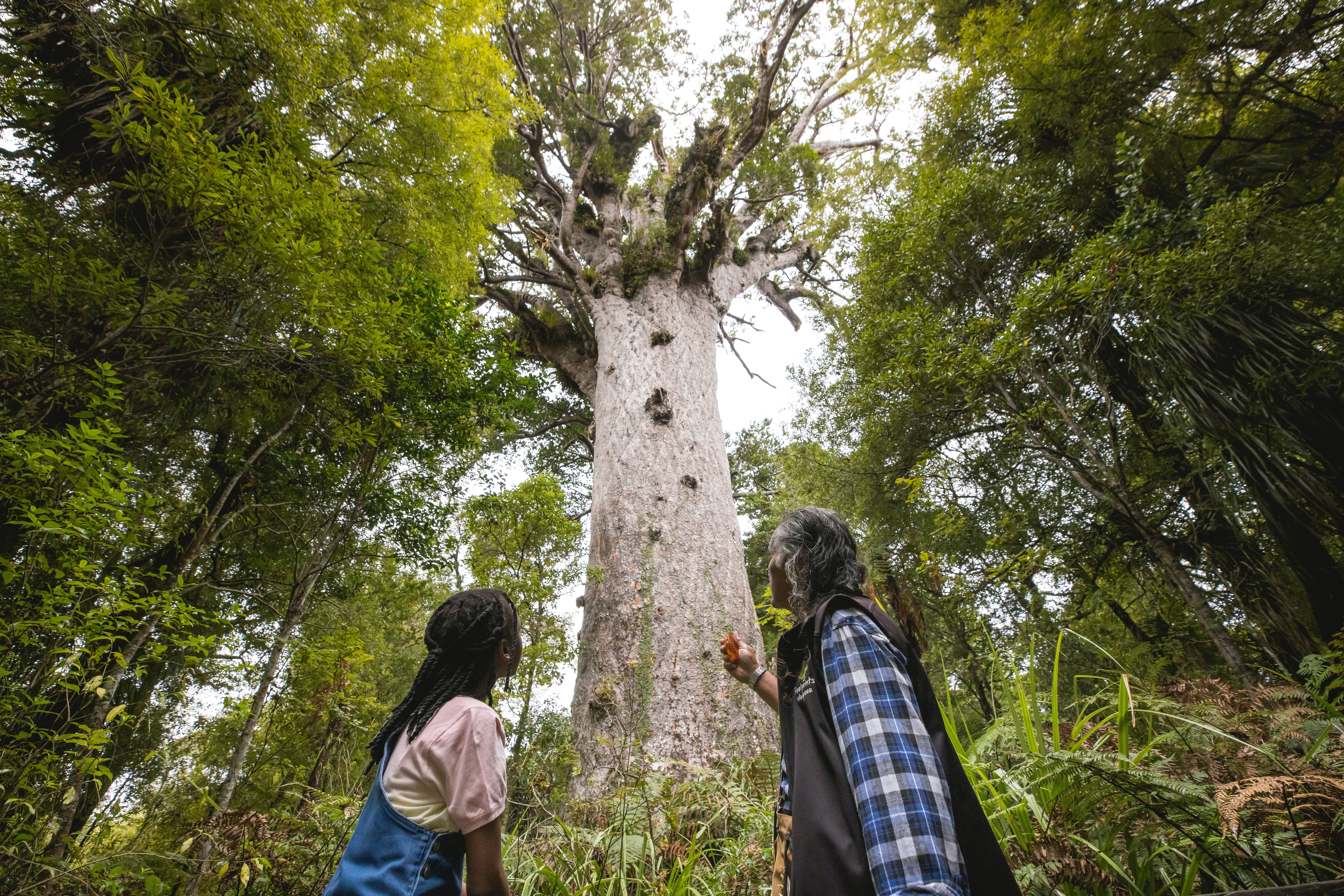
North and west of the Bay, the kauri forests hold trees that were standing before anything in Europe was built. Tāne Mahuta is five minutes from the road on a dedicated wheelchair-accessible route, which puts one of the oldest living things in the country within reach of anyone.
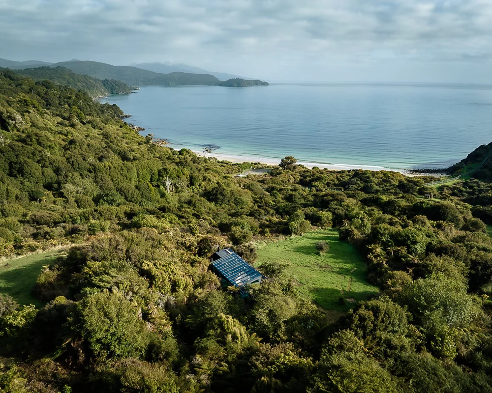
Further round the coast, Matapōuri and the Tutukaka shoreline give you the beaches without the boats. Golf sits here too, on some of the most dramatic clifftop land in the country.
Where This Belongs in a New Zealand Itinerary
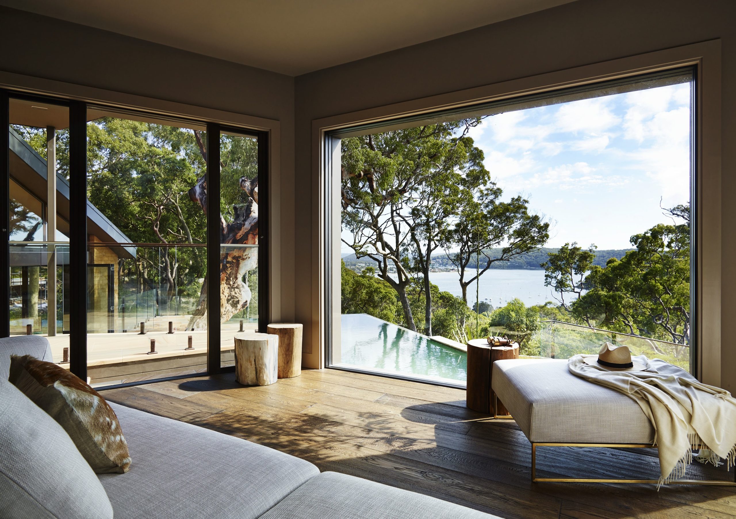
Our honest recommendation is at the end. The South Island asks a lot of travellers — driving, altitude, early starts, weather — and the Bay of Islands asks almost nothing. Landing here for the last three nights turns a demanding trip into a holiday.
It works at the start too, particularly for travellers arriving from a long-haul flight into Auckland who would rather not connect straight onto another aircraft. Three hours north by road and you are somewhere warm and horizontal.
What we would not do is squeeze it into the middle. It is a different pace and it deserves its own stretch of the trip.
Frequently Asked Questions About the Bay of Islands
How do you get to the Bay of Islands from Auckland?
About three hours by road, or 35 minutes in the air. The drive is genuinely pleasant and passes the kauri forests, so most of our travellers take it one way and fly the other. A private guide-driver makes the road leg part of the trip rather than a transfer.
When is the best time to visit the Bay of Islands?
December to March. Northland’s rainfall pattern is the reverse of the alpine south — January averages 122 millimetres against July’s 205 — so the Bay peaks in summer while it is also the best window for sailing and swimming.
Is the Bay of Islands worth it if we only have two weeks in New Zealand?
If your fortnight covers both islands, yes, at one end. If you are giving all fourteen nights to the South Island, leave it for next time rather than carving out two nights and flying twice.
What is there to do besides sailing?
Waitangi for a morning, Russell for an evening, the kauri forests for a half day, and some of the best coastal golf in the country. There is also excellent diving off the Tutukaka coast. Most travellers still spend at least one full day on the water.
Is it suitable for older travellers?
Particularly so. The terrain is flat, the distances are short, the water is sheltered, and Tāne Mahuta is five minutes from the car park on a wheelchair-accessible route. It is the least physically demanding region in New Zealand and one of the most rewarding.